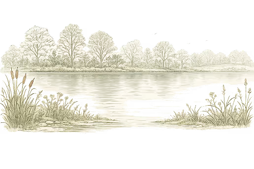
Slow down. Notice the cedars.
A shared shoreline way
South and west shore
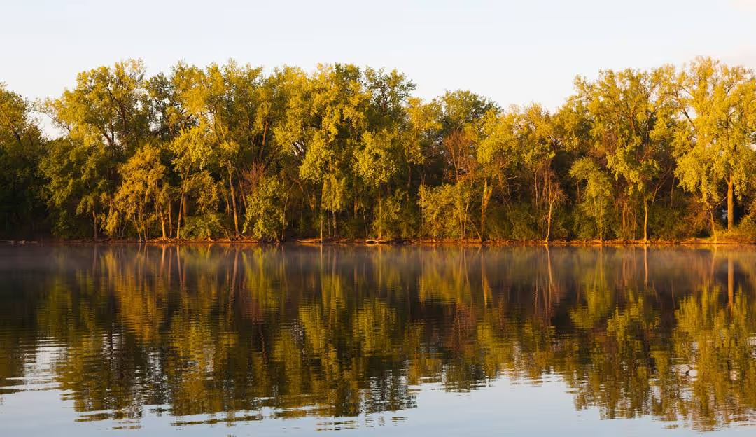
Slow down. Notice the cedars.
A shared shoreline way
A Shared Shoreline Way
With more than 100 mature cedars along its edges, Cedar Lake Parkway traces the south and west shoreline of Cedar Lake. It is more than a roadway. It is a shared shoreline way—where movement through the city unfolds beside open water, meadow, and sky.
Across the lake, the downtown Minneapolis skyline remains in full view. The openness seen today was not always here. For years, invasive trees and dense buckthorn narrowed the corridor and blocked sightlines to the water. Volunteers cleared brush, removed invasives, and replanted native species. What now feels spacious and welcoming reflects steady neighborhood stewardship over many seasons.
Cedar Lake Parkway is part of the Grand Rounds Scenic Byway, linking neighborhoods to regional routes. It was never intended to function as a highway. The 20-mile-per-hour speed limit is deliberate—protecting people crossing, supporting shared use, and reinforcing that this is a park landscape first.
Drivers, cyclists, runners, and walkers all use this corridor. People cross toward South Beach, South Peninsula, and Cedar Lake Point Beach with strollers, small boats, coolers, and toddlers in tow. Turtles, deer, and wild turkeys cross too. The parkway works best when everyone approaches it with awareness. Slowing—or stopping—at crosswalks, whether behind a steering wheel or on two wheels, keeps this shoreline safe and welcoming.
Slow down. Notice the cedars. In summer, you can actually smell them.
Moving at a human pace protects people and wildlife and allows the lake to do what it does well: widen perspective, lower stress, and reconnect us to nature. Appreciate the volunteer care that keeps this shoreline open and alive.